Melbourne Day Walks

Archive for the ‘Maribyrnong River Valley’ Category

Maribyrnong River

Saturday, August 20th, 2011

Length: 6.6  km

Time taken: 1hour 40minutes (including stops for photos)

Grade: Easy

Climb: 80m

This walk follows the Maribyrnong River in a circuit connected by two footbridges over the river, with Maribyrnong Road roughly in the middle of the circuit. There was no shortage of picnic spots and playgrounds along this walk! It was such a beautiful day so there were people everywhere walking parts of this track.

The northern section (north of Maribyrnong Road) was much more popular than the southern part and was busy was cyclists, runners, and walkers, but I found the southern part much nicer due to it feeling more remote and bushy. I wish i’d had more time to explore the Melbourne Meat Preserving Company buildings in the Pipeworks park along the way.


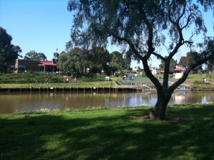
Looking across the river to the cafe

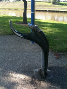
A strange drinking fountain

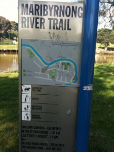
The northern section of the walk was well signposted

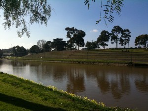
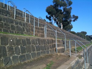
Looking across the river at the stairs/seats

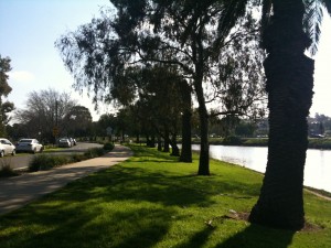
The track along the river

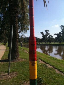
There were flood marker poles on both sides of the river. On one side it shows the height, and on the other the markings for previous flood events

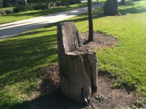
There were a couple of log seats on the track

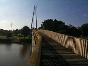
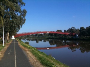
The first footbridge over the river

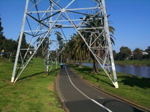
The first time i've seen a path go through a powerline

The stairs/seats up close

The second footbridge over the river

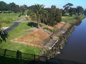
Looking down from the second footbridge

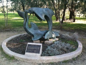
A dolphin statue

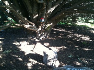
This large tree had a table setting and "house" under it

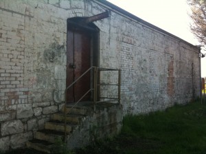
An old meat preserving factory


Organ Pipes

Saturday, August 20th, 2011

Length: 3.0  km

Time taken: 50 minutes  (including stops for photos)

Grade: Easy

Climb: 81m

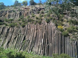
This is a fairly short walk but the geological formations here make it worth seeing. The Organ Pipes are the main feature, but the Rosette rock and Tesselated Pavement are interesting as well. The track to the formations is quite steep as it descends down into a valley, and is of course quite steep on the way up too. The rest of the walk is fairly flat. Apparently there is a bit of wildlife in this area, but I only saw lizards and bees.

The path near the visitor centre

The walk starts at the top of the valley.

The path drops steeply down the valley. It's a steep walk both up and down, but not too difficult.

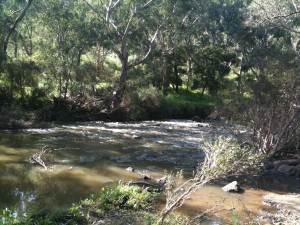
Jackson River

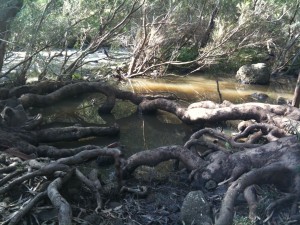
Tree roots in the river

The Organ Pipes

Another view of the Organ Pipes with the viewing area

A flood marker in the Jackson River

The Tesselated Pavement

Another view of the Tesselated Pavement

The Rosette Rock


Brimbank Park

Sunday, October 10th, 2010

Length: 5.5 km

Time taken: 1 hr, 55 mins (with breaks for pics and snacks)

Grade: Easy/Moderate

Climb: 84 metres (as measured by RunKeeper)

Not the nicest walk i’ve been on, but not terrible either. It was a lovely sunny day so the park was filled with people having BBQs and generally hanging out. There were kids riding scooters and bikes all over the place which made the first part of the walk much less peaceful.

Most of the walk was quite exposed to the elements, and being such a sunny day meant we were walking in the sun with no relief for quite a while. Part of the walk is at a high elevation with no shelter, and plenty of sun and wind. It would have been more plesant on an overcast day. I am grateful that the last km of the walk was along some peaceful sheltered river flats where we spotted some bunnies and ducks. This was definitely the nicest part of the walk.

The track itself was nice in most places, especially away from the BBQ areas where there were less people and less noise. The park is under the flight path for Melbourne Airport so loud planes were flying quite low overhead every few minutes. Definitely no serenity here!

We couldn’t do the walk exactly as directed in the book as part of the track (I suspect the nice and more remote part of the track) was closed due to recent storm damage. There was evidence of storm damage on other parts of the track as well. A small jetty used for fishing in the Maribyrnong River was completely covered in a thick layer of mud.

There are actually two walks in the book, one on the east side and one on the west side. We were attempting the east side walk, and i’m not in a hurry to attempt the west side.

I have rated the walk as Easy/Moderate due to the long exposed uphill walk (on a sunny day), but it isn’t a difficult walk overall.
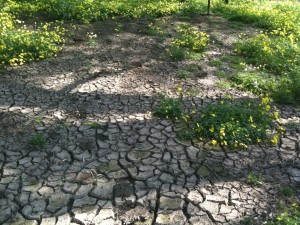
Cracked ground. I suspect from the recent storms.
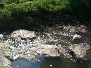
A section near one of the many Ford's across the river
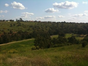
View from near the top
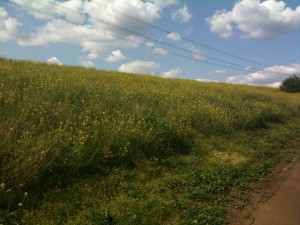
A pretty field of tall flowers (under power lines)
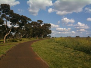
The track near the top
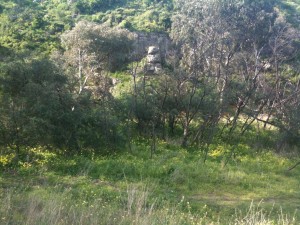
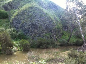
A rock formation on a cliff along the river
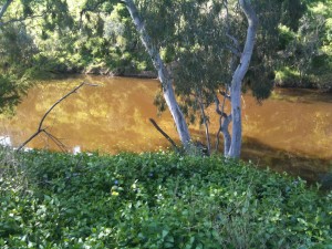
Brown river water
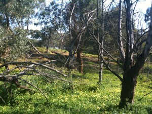
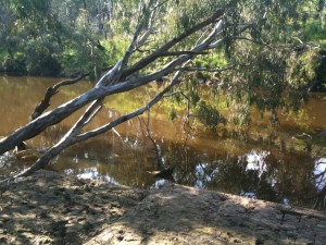
The mud covered jetty
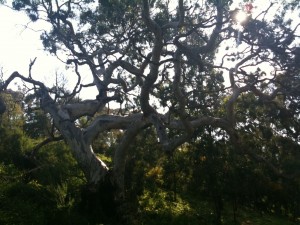
A really interesting tree near the end of the walk