Melbourne Day Walks

Archive for the ‘Dandenong Ranges’ Category

Belgrave-Kallista

Sunday, June 19th, 2011

Length: 9  km

Time taken: ?

Grade: Easy-Medium

Climb: ?

This walk starts at Belgrave Train Station and climbs up a steep road to the entrance of the Dandenong Ranges National Park. From here the walk is reasonably flat and easy for a couple of km’s up to Grants Picnic Ground. The track then loops back via a pretty ferny track with a fair share of ups and downs. Near the end of the track, in the couple of hundred metres before reaching the park entrance from the other side of the loop, the track climbs steeply, which is the only reason this walk is graded an easy-medium. Overall this is a really pretty walk, although it is quite muddy after rain as we discovered.

The road from Belgrave Station to the Dandenong Ranges National Park

Looking over to the Puffing Billy station

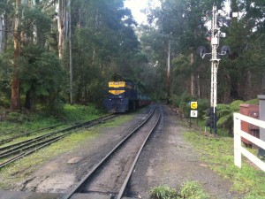
A steam train near Puffing Billy

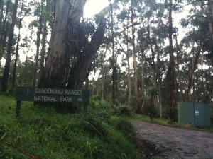
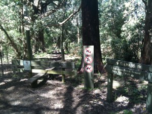
The entrance to the National Park

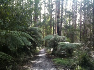
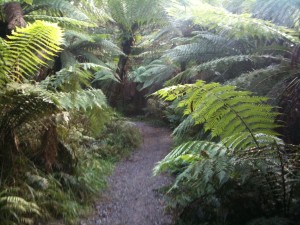
The view along the track

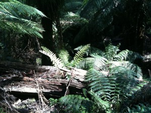
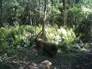
Along the track

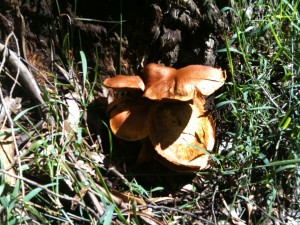
Yum yum!

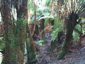
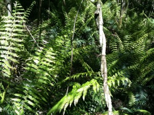
Ferns along the track


One Tree Hill

Sunday, January 23rd, 2011

Length: 4.3 km

Time taken: 1 hour, 40 mins (including breaks for pictures and catching my breath :))

Grade: Moderate (Tyrone Thomas rated this as Easy…. he has a funny idea of easy!)

Climb: 298 metres

This walk is better known as the Thousand Steps, but includes an extra section up to what is known as One Tree Hill. I found the 800m walk to the steps from the car park more draining than the walk up the steps, but I did have to stop numerous times on the steps to catch my breath and take a quick sip of water. The weather was warm and sunny on the day which didn’t help matters. It will be interesting to see how much easier it is on a cooler and overcast day.

By the time I reached the top of the (785) steps I was grateful for the seat in the shade. From the top another path leads up to the One Tree Hill picnic area. This area is at the summit of the hill, but there are sadly no views due to all the surrounding trees. However there is still a marker at the top that shows the distance and direction of other major landmarks around Melbourne.

The walk back to the car park is down a wide track that runs almost parallel to the steps, but is an unrelenting downhill grade that I found quite slippery. I had to concentrate on my footing to be careful I didn’t slip. A number of people were walking up this track which would not have been fun.

The path has been made into a memorial for the Kokoda track and there are numerous memorial plaques with historical information about Kokoda along the way. Many of these plaques were being used as seats.
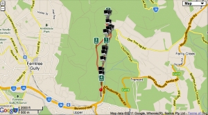
 

Map
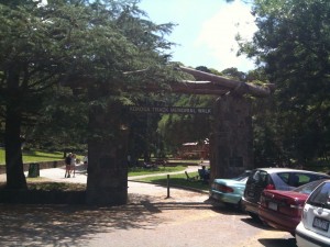
The start of the path to the steps with the arch commemorating the Kokoda trail.
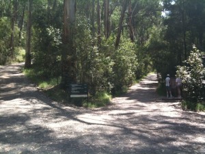
The track branches off to the steps and to the path I returned on.
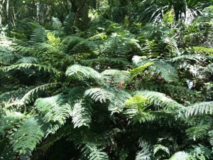
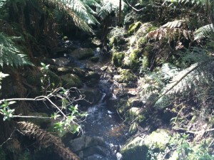
There was some beautiful rainforest along the way.
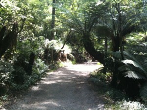
Along the path to the steps
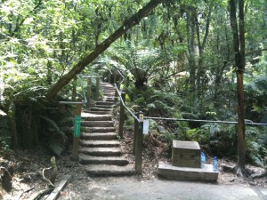
The beginning of the steps
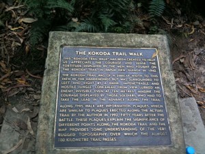
One of the Kokoda memorial plaques
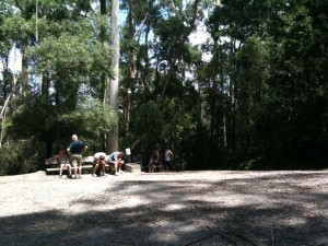
Resting at the top of the steps
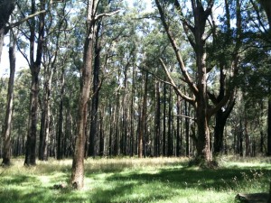
The trees around One Tree Hill had obviously been through a bushfire, although i'm not sure when.
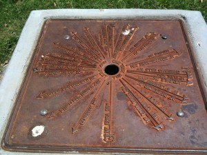
The marker on the summit
Sherbrooke Forest

Sunday, October 24th, 2010

Length: 6.75 km

Time taken: 2 hours, 30 mins (including breaks to rest, take pictures, and get lost!)

Grade: Moderate

Climb: 290 metres (as measured by RunKeeper)

This walk was easily the most beautiful and challenging i’ve been on so far. It started with a long, steep, slippery walk up the side of a mountain, before heading back down the mountain over what felt like an even longer distance. Both directions hurt my legs a bit and completely tired me out.

The walk felt a lot a longer than the 7 km it was, especially because of how slow the first km was up the mountain. However, the scenery was gorgeous and the weather was perfect and sunny, making the walk quite relaxing despite the physical challenge.

The book’s directions were completely useless on this walk. For starters it wasn’t clear where to start the walk, and I have no idea how anyone could rate this walk as Easy when it is quite difficult in places. We lost the track at one point when the tracks switch over the road. We needed to ask a local for directions on how to get back to the right track.

The photos are a bit overexposed from the light and the limits of the iPhone camera.

Map

On the way up the mountain

Still on the way...

An interesting hanging plant

Mushrooms... Yum Yum!

After climbing the mountain we were greeted by this barrier which made me momentarily think its the end of the walk.

.


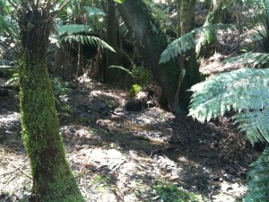
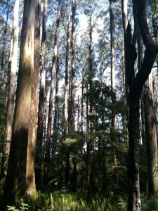
Tall trees!

.

Sherbrooke Falls

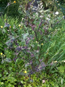
A nice plant along the side of the road.

Another great view of the trees