Melbourne Day Walks

Archive for the ‘Yarra River Valley’ Category

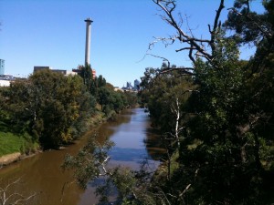
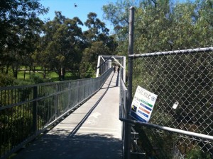
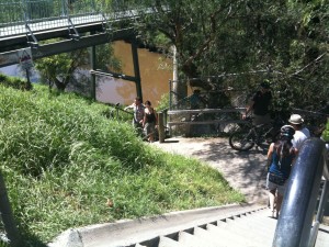
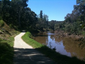
Gardiners Creek, Kooyong

Monday, January 9th, 2012

Length: 5.4 km

Time taken: 1hour 15minutes (including stops for photos)

Grade: Easy

Climb: 55m


This walk follows the Yarra River and Gardiners Creek near the city although it does seem much further away. The most interesting part of this walk is where the track follows directly under the Monash Freeway on a hanging walkway.


Start the walk here. Park your car just on the other side of the river.

Yarra Flats, Bulleen

Sunday, September 11th, 2011

Length:

Distance:

Grade: Easy

Blue Tongue Bend

Sunday, March 27th, 2011

Length: 3.83 km (shortened after not going through the overgrown Nature walk full of spider webs)

Time taken: 1 hour, 20 minutes (including breaks for pictures)

Grade: Easy

Climb: 53 metres

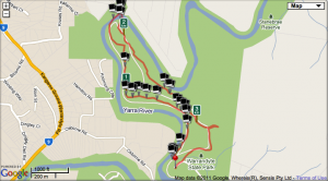
I walked this alone which in retrospect wasn’t a great idea, but beside a run in with spiders in the ‘Nature walk’ it was a pleasant walk. The walk follows the Yarra River up to what is known as Blue Tongue Bend, which is an unexceptional bend in the river. However the bushy scenery makes this walk worthwhile.

Map

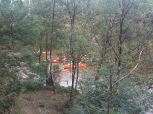
Canoeists along the Yarra River

.

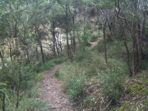
The track follows the Yarra River

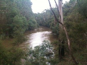
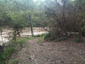
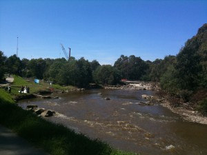
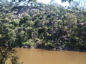
The Yarra River

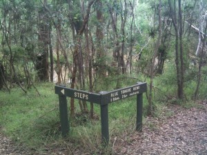
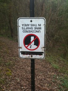
I found this sign amusing... mostly because it was upside down.

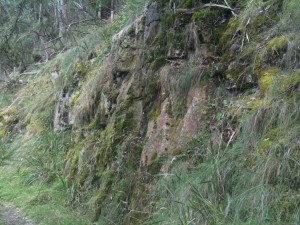
Rocks along the track


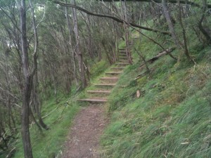
Stairs on the track

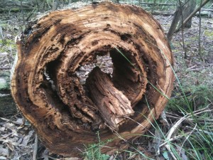
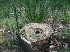
A gorgeous log

The Blue Tongue Bend. (Yes this is it.)

Another nice log

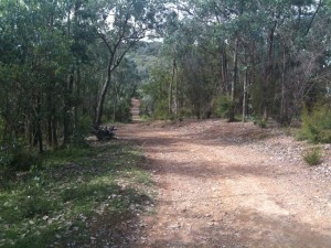
The track back was a wide management road for the most part.


Studley Park

Sunday, March 6th, 2011

Length: 6.27 km

Time taken: 1 hour, 37 minutes (including breaks for pictures)

Grade: Easy

Climb: 61 metres

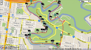
This would have to be one my favourite walks in inner Melbourne due to how rural and bushy it feels even though it is only a few kilometres from the city centre.  The first section of the walk is along a very narrow track on a cliff edge over the Yarra River. Considering how narrow the track is and how long the drop is I was surprised to mountain bike riders along here. The track then meets up with a path used more by cyclists than walkers, but there were plenty of walkers and joggers on the day I was there. It then passes through Abbotsford Convent and the Collingwood Childrens Farm and Community Garden. This is the only inner Melbourne walk where you can see cows! The tracks then passes Dights Falls, where a couple were taking their wedding photos on the day I was there, and then follows the Yarra River around to Studley Park Boathouse.

Map

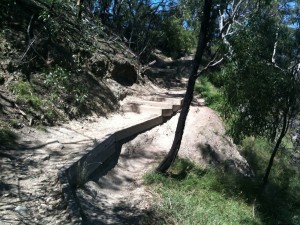
Stairs leading down to the cliff side track. (I am looking back at the track in this picture.)

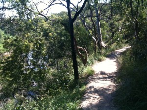
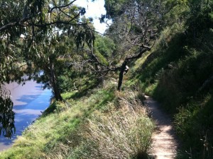
The narrow track along the cliff side

Another view of the narrow track.

Looking down the Yarra towards the City from the track.

The track crosses the Yarra on this bridge...

And on the other side of the bridge theres a staircase leading back down to the track. The cyclists have to carry their bikes up/down these stairs

This part of the track is obviously used more by cyclists.

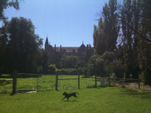
The Abbotsford Convent

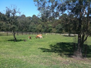
Cows near the convent. These must be the closest cows to the Melbourne CBD.

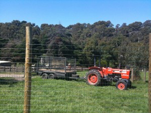
A tractor at the Collingwood Childrens Farm.

The windmill at the Collingwood Childrens Farm

A couple having their wedding photos taken near Dights Falls

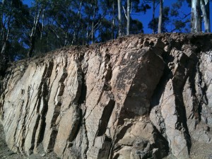
An interesting rock face along the Yarra


Plenty Gorge

Sunday, September 26th, 2010

Length: 3.1 km

Time taken: 1 hr (with lots of breaks for pics)

Grade: Easy / Moderate

Climb: 75 metres (as measured by RunKeeper)

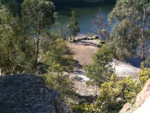
This track is a circuit around the Blue Lake in Plenty Gorge. It was a relatively short walk, but well worth it as the lake and cliffs were absolutely beautiful and the path was quite scenic with plenty of trees and a river flowing below. Unfortunately the book was left behind so I didn’t have the directions for the complete 4.5km walk – of which part is not a real track.

We took a wrong path near the beginning which lengthened the walk a little, but it wasn’t a bad detour. Although we ended up bush bashing between the wrong paths and I nearly slipped on loose rocks down the hill a few times.

The real path to the Blue Lake was quite wide and well maintained. From the car park to the lake it was on a slight decline, and from the lake to the car park on an incline. I rated this path as easy / moderate due to the incline on the way back, but I may have just felt it more because of the strong sun.

I can see why the locals hang around this lake for a drink on a nice day.

The path to the Blue Lake

Further down the path...

Further down the path...

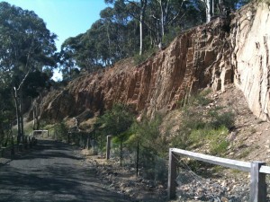
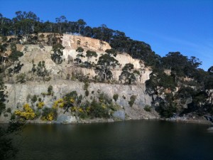
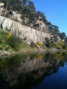
The man made cliffs along the path

The man made cliffs along the path

Looking down on the lake

Looking down on the lake

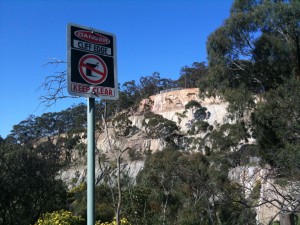
Danger! 🙂

A great view of the man made cliffs

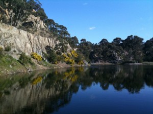
The cliffs reflecting in the water

Another view

The Domain

Sunday, September 12th, 2010

Length: 5km

Time taken: 1 hr

Grade: Easy

Climb: 54 metres (as measured by RunKeeper)

While not really a full day walk, the domain – otherwise known as “The Tan” – is quite a nice walk and in the book! The Tan is a great walk if you don’t have time to get out to a more remote area. As a bonus, after walking the circuit you can walk around the Royal Botanic Gardens at a nice leisurely pace.

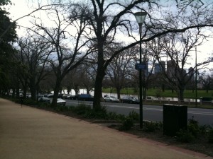
The 4km track circles around the Royal Botanic Gardens – through Kings Domain, down a South Yarra side street, and along the Yarra River. On this walk there were two things that really surprised me:

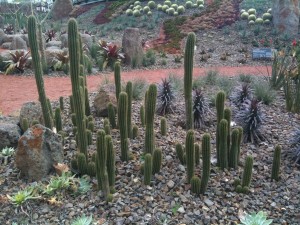
1. Along the Yarra side of the track there were numerous different species of succulents planted at the bottom of the cut out cliffs. I don’t think i’ve ever seen so many beautiful succulents in one place.
2. I don’t know why I assumed this track is flat, but it has some decent gradients compared to your average park circuit walk. I took Tyrone’s advice and walked anti-clockwise to get the downhill gradient on Anderson St.

I would walk this track again if I am short of time, or perhaps near the area and it’s a great day.

"The Tan" track along the Yarra River

Cacti in the Botanic Gardens

Mount Lofty

Sunday, September 5th, 2010

Length: 5km

Time taken: 1 hr, 35 mins (including stops for photos and rain)

Grade: Easy-Medium (listed as Easy in the book, but the steep hills push it to a medium in my opinion)

Climb: 103 metres (as measured by RunKeeper)

Starting at the end of Reserve Rd Wonga Park, this is a gorgeous walk that took us down along the banks of the Yarra River before heading up to the Mt Lofty summit where there are some great views of Lilydale and beyond in the distance.

The track is a quite well maintained gravel foot track along the Yarra, with a number of ups and downs, before changing to a park maintenance road as it winds up to the summit. The section of track up to the summit is steep, but didn’t feel as bad as it looks. However it was steep and long enough for me to consider this an easy-medium grade walk.

After reaching the summit, the track continues along the top for a while before heading around past a farmhouse and down the mountain until it meets back with the river track. This last section of track is quite grassy and unfortunately it started raining heavily when we reached the summit which made this track that descends steeply down the mountain quite muddy and slippery. Luckily there were no slips!

Along the way we spotted a few families of kangaroos dozing and grazing on the slopes of Mt Lofty, and even a couple of rainbows due to the mixed weather.

Overall this was a great walk and a great start to reaching my goal! 1 down, 39 to go!
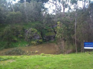
Beginning of the walk
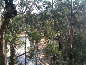
Yarra River
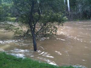
The river was a bit swollen from heavy rains
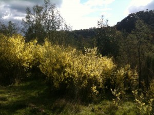
Wattle growing along the track
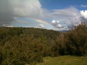
A rainbow in the distance
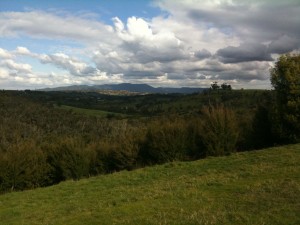
The view from the near the summit
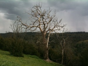
Interesting tree
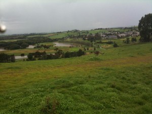
This Kangaroo crossed the track in front of us
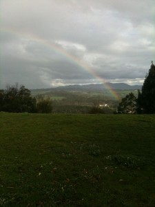
Another Rainbow
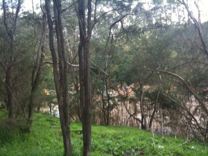
Canoeists in the Yarra River