Melbourne Day Walks

Archive for the ‘Dandenong Creek Valley’ Category

Birds Land

Sunday, May 1st, 2011

Length: 6.14 km

Time taken: 2 hour, 15 mins (including breaks for pictures and chats with police about reported missing children which we saw along the way)

Grade: Easy-Medium

Climb: 164 metres

Birds Land Reserve is located south of the Dandenongs and north of Lysterfield Lake, and nowhere near as nice as either of them. The walk passes two lakes that seemed popular for walking around, and then goes through a more remote area that leads up a hill on the Sunset Track where there were some nice views of the surrounding mountains. The start of the Sunset track was quite vague and if it hadn’t been signposted I would have missed it. Even with the signpost I was still unsure whether it was the right path. Luckily it was. The path climbs up steeply to the top of the hill. The track back down, Abrahams Track, was much more well defined, but became quite muddy in places. Unlike Lysterfield Park across Wellington Rd, I didn’t see any Kangaroos or other wildlife besides the birds. I would prefer a walk around Lysterfield Park any day.
 

Map

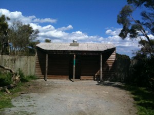
The Picnic Ground and Car Park

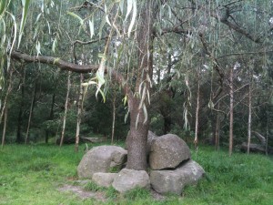
I assume these rocks were placed around the tree.

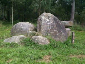
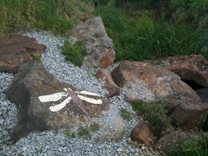
There were lots of granite boulders around the reserve.

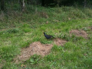
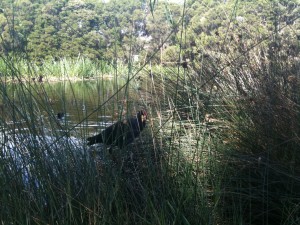
Lots of birds were in Birds Land (even though it wasn't named because of the birds)


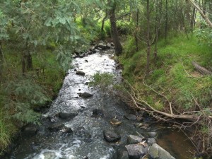
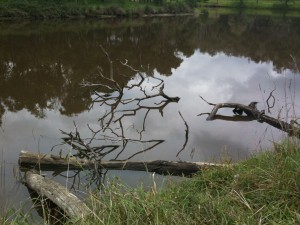
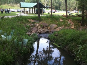
The track initially follows the creek towards to the lake.

The second lake

The creek goes under the hill here.

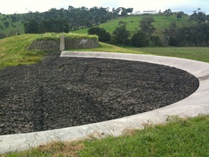
I'm not sure exactly what this is...

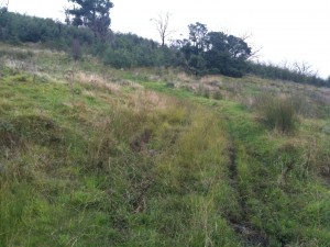
The vague black line to the right is the start of the Sunset Track. Thank goodness it was signposted or I would have missed it!

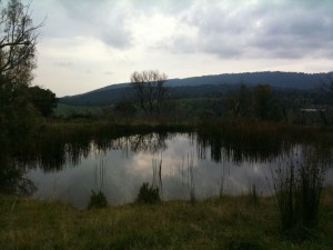
A small lake at the top of the Sunset Track

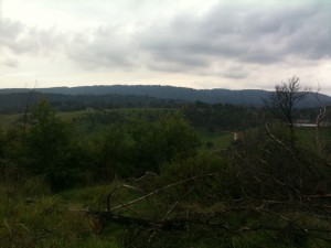
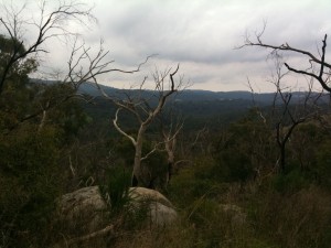
The view from the Sunset Track

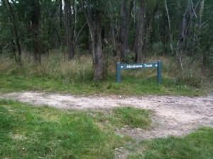
The junction of Sunset and Abrahams Track

The view from Abrahams Track


Jells Park

Sunday, October 17th, 2010

Length: 2.9 km (Complete walk is 5.2 km, but I only walked part.)

Time taken: n/a

Grade: Easy

Climb: 17 metres (as measured by RunKeeper)

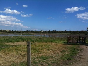
Jells Park has a surprisingly remote feel considering it is in the middle of the suburbs. The lake circuit is quite pretty (if you ignore the power lines :)) and quite popular with walkers. There were plenty of birds around the lake, and even a bird hide to watch them from.

Unfortunately, I wasn’t able to do the complete walk on the day I went, but I did walk a circuit of the lake which is the main part. I am hoping to go back sometime and walk the complete 5km route.

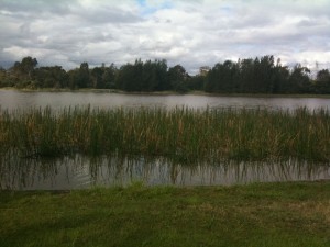
Overlooking the lake from the southern part of the walk

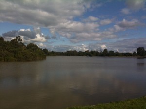
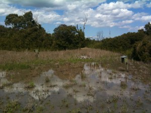
The water level was quite high, almost above the jetty.

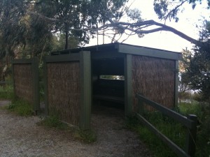
The bird hide

The lake

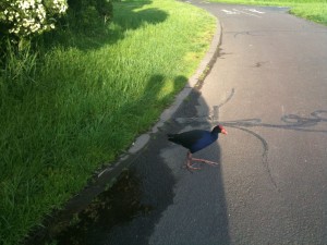
This bird was happy to walk quite close to me

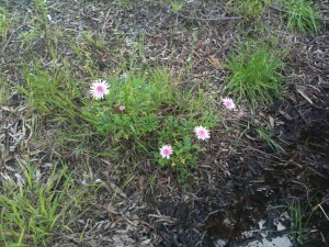
Some nice flowers I spotted in the car park

Braeside Park

Sunday, October 3rd, 2010

Length: 6.4 km

Time taken: 1 hr, 45 mins (with breaks for pics and snacks)

Grade: Easy

Climb: 27 metres (as measured by RunKeeper)

Braeside Park feels quite remote even though it is quite close to Moorabin Airport and from some parts of the track you can see houses in the distance. Throughout the park there were all sorts of birds creating a nice soundtrack, although interrupted every few minutes by the small planes flying overhead.The park is quite well popular for bird watching and even has a birdhide and bird houses.

This was the easiest walk i’ve been on so far even though it was a bit longer than some of the others. The track felt completely flat the whole way. I was lucky enough to have perfect sunny weather as well which made the walk really quite nice. This is a great walk if you don’t want to drive too far but want a semi-bushwalk experience.

Cows near the walking track

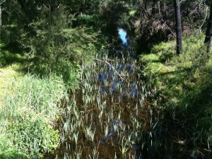
View from a small bridge over a creek

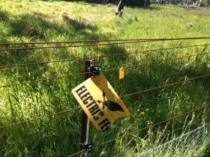
Electric fences surrounded a lot of the track

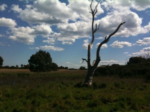
An unusual tree that reminded me of a someone bending over

A bird watching platform

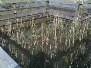
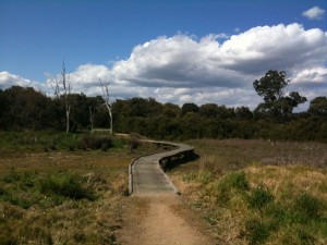
A boardwalk through the wetlands and bird watching area

Bird houses in the wetlands

The Bird Hide

A bird near the lake