Melbourne Day Walks

Archive for January, 2011

One Tree Hill

Sunday, January 23rd, 2011

Length: 4.3 km

Time taken: 1 hour, 40 mins (including breaks for pictures and catching my breath :))

Grade: Moderate (Tyrone Thomas rated this as Easy…. he has a funny idea of easy!)

Climb: 298 metres

This walk is better known as the Thousand Steps, but includes an extra section up to what is known as One Tree Hill. I found the 800m walk to the steps from the car park more draining than the walk up the steps, but I did have to stop numerous times on the steps to catch my breath and take a quick sip of water. The weather was warm and sunny on the day which didn’t help matters. It will be interesting to see how much easier it is on a cooler and overcast day.

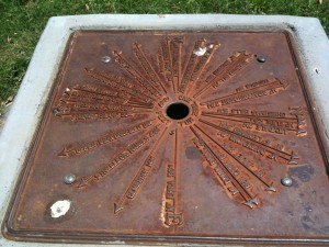
By the time I reached the top of the (785) steps I was grateful for the seat in the shade. From the top another path leads up to the One Tree Hill picnic area. This area is at the summit of the hill, but there are sadly no views due to all the surrounding trees. However there is still a marker at the top that shows the distance and direction of other major landmarks around Melbourne.

The walk back to the car park is down a wide track that runs almost parallel to the steps, but is an unrelenting downhill grade that I found quite slippery. I had to concentrate on my footing to be careful I didn’t slip. A number of people were walking up this track which would not have been fun.

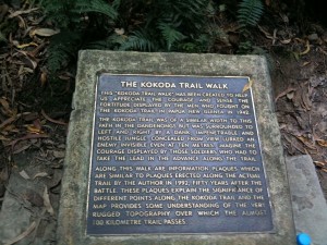
The path has been made into a memorial for the Kokoda track and there are numerous memorial plaques with historical information about Kokoda along the way. Many of these plaques were being used as seats.
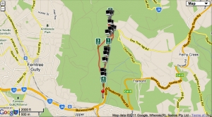
 

Map

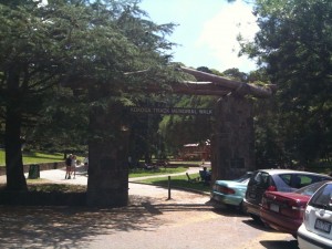
The start of the path to the steps with the arch commemorating the Kokoda trail.

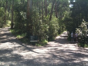
The track branches off to the steps and to the path I returned on.

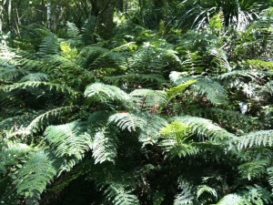
There was some beautiful rainforest along the way.

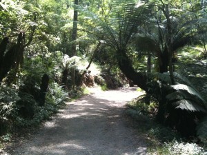
Along the path to the steps

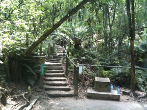
The beginning of the steps

One of the Kokoda memorial plaques

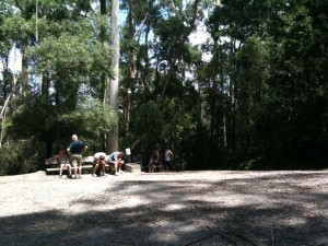
Resting at the top of the steps

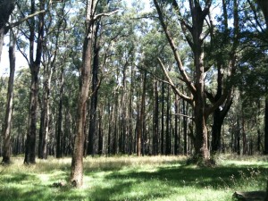
The trees around One Tree Hill had obviously been through a bushfire, although i'm not sure when.

The marker on the summit

Blackburn Lake

Sunday, January 9th, 2011

Length: 8 km (Longer than in the book due to accidentally back tracking part of the path!)

Time taken: 2 hours (including breaks for pictures)

Grade: Easy

Climb: 35 metres

This was a surprisingly pretty and interesting walk considering it was partly down streets and along the back of houses. How we managed to prematurely end up back at the beginning of the walk and not realise until we saw the car is a mystery, but the mistake thankfully only added an extra km to the walk.

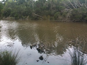
The first half of the walk is along a creek that backs onto houses, but it’s quite nice and was reasonably busy with walkers and joggers while we were there. The next part of the walk is crossing a main road and down a National Trust Classified street with some very interesting looking houses. I didn’t even know streets could be National Trust Classified! The last part of the walk was a circuit of Blackburn lake, which is surprisingly large and picturesque.

The walk was easy, but longer than the usual lake circuit walks in the book when combined with the streets and creek.

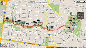
Map

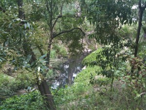
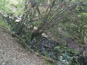
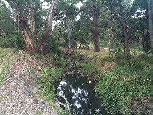
The creek

.

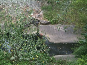
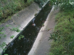
There were some interesting water fowl hanging out in the creek. You can see it standing on the concrete.

.

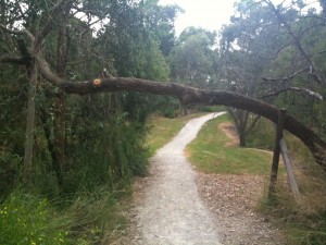
This tree fell over the track, but instead of removing it the council has erected signs at both sides warning walkers and cyclists not to hit their heads!

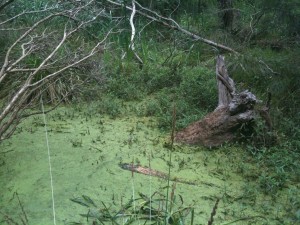
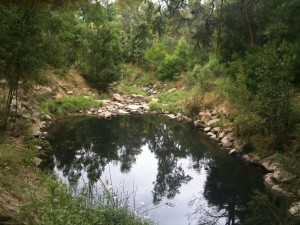
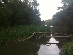
A small lake within the creek

Another water fowl

.

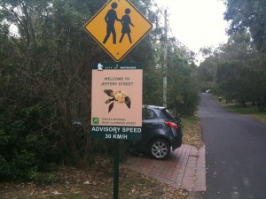
The National Trust Classified Street sign on Jeffery St

Blackburn Lake

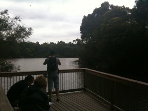
One of the platforms over the lake

Another view of the lake