Melbourne Day Walks

Archive for November, 2010

Mordialloc Creek

Sunday, November 21st, 2010

Length: 5.1 km

Time taken: 1 hours, 20 mins (including breaks for pictures)

Grade: Easy

Climb: 36 metres (as measured by RunKeeper)

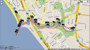
On a day with such fantastic weather, this walk offered a great contrast of beach and bush walking. The walk followed Mordialloc creek, starting near a cricket ground with a game in full swing, before heading towards the beach past all the moored boats, then back inland along a more bushy path.

The hardest part of this walk was working out how to cross Nepean Hwy. (There is an underpass as I found out too late!) The scenery, especially along the beach, was quite pretty. At the beach I walked the length of the pier, where an older woman nearly hit me with a fish she was reeling in, and up the beach path to the lifesaving club.

Overall the walk did feel quite urban as there was almost always buildings visible, but the beach section made up for it.

Map

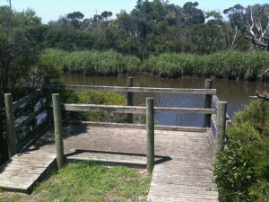
One of the little lookout platforms over the creek.

The path along the creek.

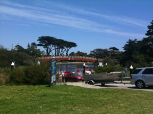
The boat ramp and adjacent carpark were super busy due to the great weather.

The track passes by this train parking area near Mordialloc station.

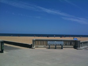
The view towards the beach.

I'm not sure if this area was a boat graveyard or maintenance area, but there were plenty of land based boats lying around. This is along the Nepean Hwy.

A great mural along the path to the beach. The man on the street post looks 3D in front of the background.
Mordialloc Beach

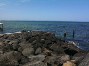
People fishing on the rocks at the entrance to the creek.

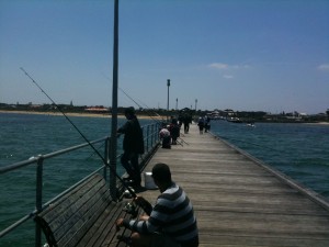
Looking from the end of Mordialloc pier back to the beach. This pier was extremely popular with fishermen.

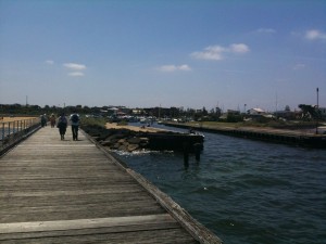
A view of the pier and creek entrance.

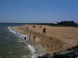
Mordialloc Beach (again)

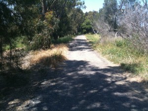
A more bushy section of the walk, heading back inland.

Langwarrin Reserve

Saturday, November 6th, 2010

Length: 4.3 km

Time taken: 1 hours, 30 mins (including breaks for pictures)

Grade: Easy

Climb: 39 metres (as measured by RunKeeper)

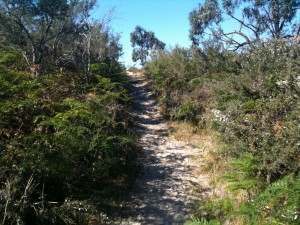
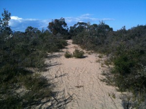
Of all the walks i’ve been on, this had the most variation in track type. The track and scenery changed from foresty, to sandy coastal, to grassy, all within a couple of kilometres. I was really quite amazed at how coastal this track looked in sections considering it is no where near the beach!

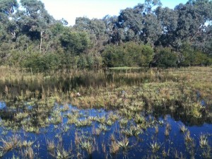
The walk is only meant to be 4km, but due to part of track in the book being permanently closed we had to walk a little further to get around. The extra part was then a bit flooded but luckily there was a section not too deep we could walk over.

This was really a surprisingly nice and scenic walk considering the location and size of the reserve.

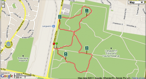
Map

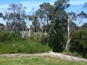
I can't get enough pictures of dead trees against the blue sky 🙂

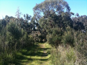
A grassy section section of the track

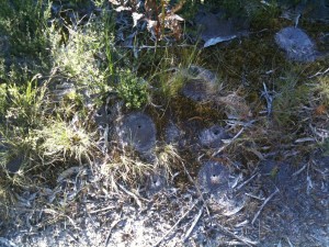
There were Ant Hills all over the place. I was scared to stay still too long for fear of one of the many angry bullants climbing my shoe.

The dam

Another section of the trail... starting to get sandy

The track looked and felt very coastal for a while

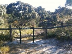
'Telstra track' - because it is along the side of Telstra owned property... This was where the track in the book that no longer exists started.

The track was flooded and a couple of ducks called it home

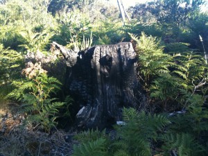
A nice burnt out tree trunk

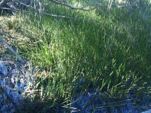
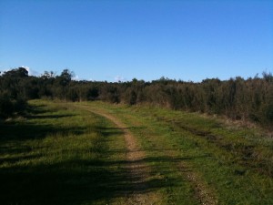
A very grassy part of the track

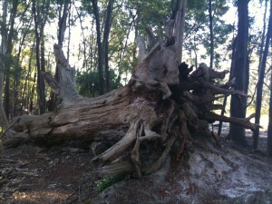
Many trees had fallen over