Melbourne Day Walks

Archive for March, 2011

Blue Tongue Bend

Sunday, March 27th, 2011

Length: 3.83 km (shortened after not going through the overgrown Nature walk full of spider webs)

Time taken: 1 hour, 20 minutes (including breaks for pictures)

Grade: Easy

Climb: 53 metres

I walked this alone which in retrospect wasn’t a great idea, but beside a run in with spiders in the ‘Nature walk’ it was a pleasant walk. The walk follows the Yarra River up to what is known as Blue Tongue Bend, which is an unexceptional bend in the river. However the bushy scenery makes this walk worthwhile.

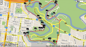
Map

Canoeists along the Yarra River

.

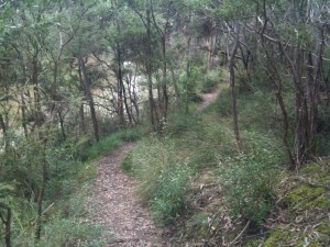
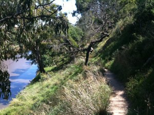
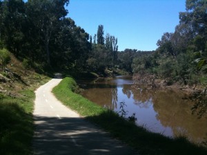
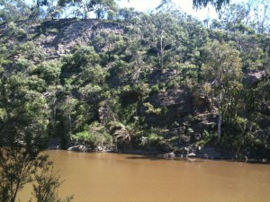
The track follows the Yarra River

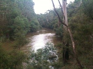
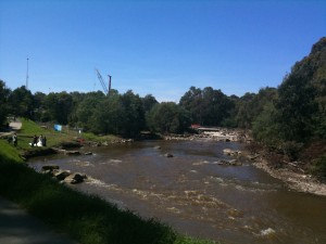
The Yarra River

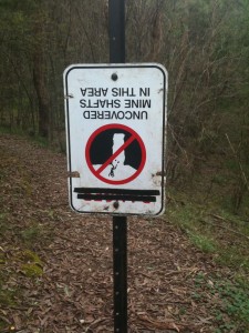
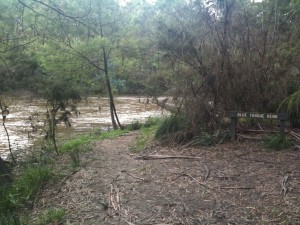
I found this sign amusing... mostly because it was upside down.

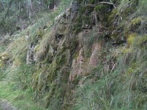
Rocks along the track


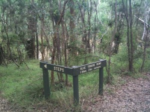
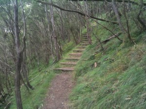
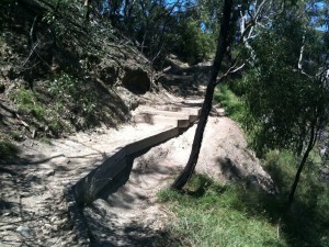
Stairs on the track

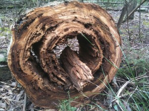
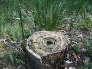
A gorgeous log

The Blue Tongue Bend. (Yes this is it.)

Another nice log

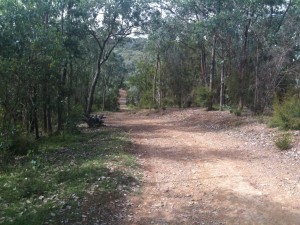
The track back was a wide management road for the most part.


Sandringham-Brighton Beach

Monday, March 14th, 2011

Length: 3.94 km

Time taken: 1 hour (including breaks for pictures)

Grade: Easy

Climb: 38 metres

I was waiting for a nice day to do this walk and I got it! I was surprised by how ‘bushy’ this walk was compared to other parts of the beach track closer to the city. Some parts of the track were quite hidden in the bushes, while other parts were exposed near the road, and other parts were right along the beach. The track climbs up and down from the beach, to the top of small cliffs, to the road, providing many different types of views.
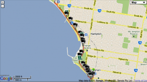
Map
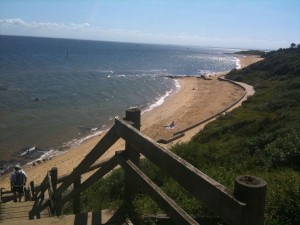
Steps down to the track along Sandringham beach.
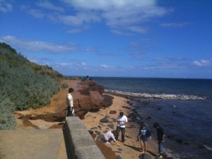
Sandringham Beach
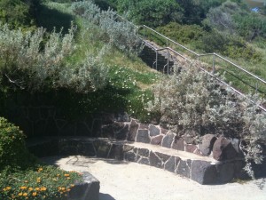
Rock seats are built into the cliffs along the side of the beach.
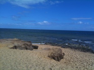
Rocks in the sand at Sandringham Beach
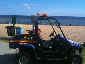
The beach here is patrolled by lifeguards.
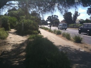
A view of the walking track, bike track, and road all beside each other.
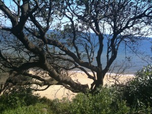
A view of the beach from behind the bushes

The view of Sandringham yacht club from up on the cliffs.
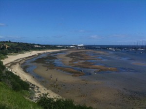
A nice view of the beach from the cliffs. Dogs were playing in the sand islands below.
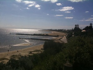
Looking down to Hampton Beach
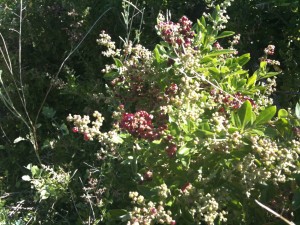
Wild Berries!
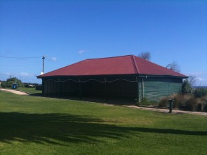
A picnic shelter at Hampton Beach. This shelter will apparently be totally rebuilt in the next few weeks and include windows out to the beach. .
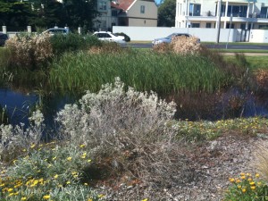
A marshy area between the beach and Beach Rd.
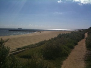
The walking track near the sand
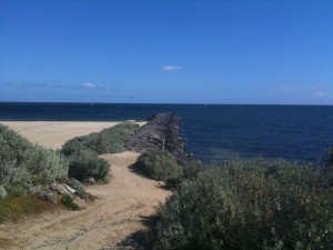
A pier
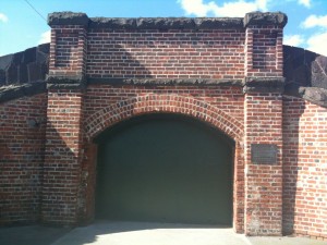
An old rail tunnel between Brighton Beach and the railway station.
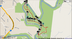
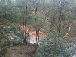


Studley Park

Sunday, March 6th, 2011

Length: 6.27 km

Time taken: 1 hour, 37 minutes (including breaks for pictures)

Grade: Easy

Climb: 61 metres

This would have to be one my favourite walks in inner Melbourne due to how rural and bushy it feels even though it is only a few kilometres from the city centre.  The first section of the walk is along a very narrow track on a cliff edge over the Yarra River. Considering how narrow the track is and how long the drop is I was surprised to mountain bike riders along here. The track then meets up with a path used more by cyclists than walkers, but there were plenty of walkers and joggers on the day I was there. It then passes through Abbotsford Convent and the Collingwood Childrens Farm and Community Garden. This is the only inner Melbourne walk where you can see cows! The tracks then passes Dights Falls, where a couple were taking their wedding photos on the day I was there, and then follows the Yarra River around to Studley Park Boathouse.
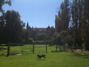
Map

Stairs leading down to the cliff side track. (I am looking back at the track in this picture.)

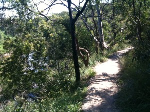
The narrow track along the cliff side

Another view of the narrow track.

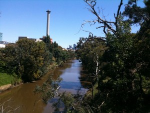
Looking down the Yarra towards the City from the track.

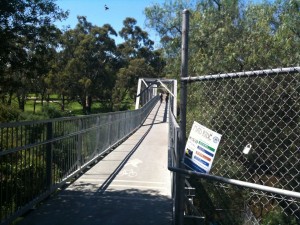
The track crosses the Yarra on this bridge...

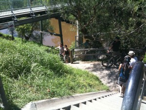
And on the other side of the bridge theres a staircase leading back down to the track. The cyclists have to carry their bikes up/down these stairs

This part of the track is obviously used more by cyclists.

The Abbotsford Convent

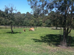
Cows near the convent. These must be the closest cows to the Melbourne CBD.

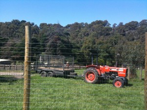
A tractor at the Collingwood Childrens Farm.

The windmill at the Collingwood Childrens Farm

A couple having their wedding photos taken near Dights Falls

An interesting rock face along the Yarra